2020’s Latest Biblical Plague: A Terrifying Saharan Dust Storm Is Heading for the United States
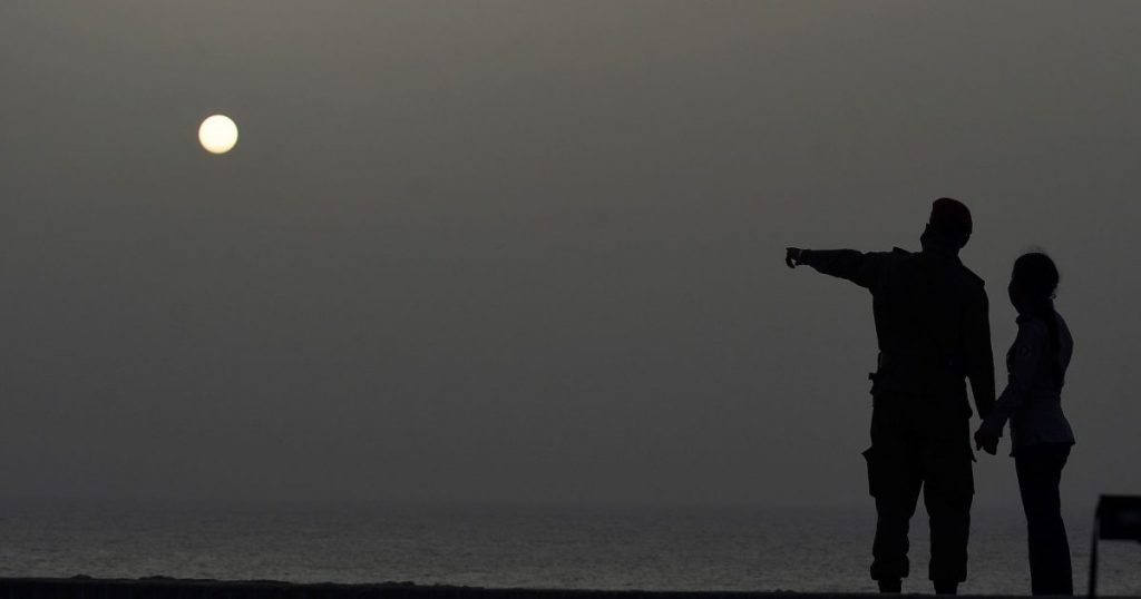
A couple look at the sea as a vast cloud of Sahara dust is blanketing the city of Havana on June 24, 2020.Yamil Lage/Getty
For indispensable reporting on the coronavirus crisis and more, subscribe to Mother Jones’ newsletters.This piece was originally published in Slate and appears here as part of our Climate Desk Partnership.
In what appears to be the latest biblical plague of 2020, a nearly 4,000-mile-long dust storm from the Sahara Desert is currently headed toward the southeastern coast of the United States.
Today’s view of a large Saharan dust plume.
Watch in near-realtime: https://t.co/mtWrgxAxqY. pic.twitter.com/aq4Ozto4Ng
— CIRA (@CIRA_CSU) June 19, 2020
#SATELLITE SPOTLIGHT: This #SaharanAirLayer (#SAL) tracking animation shows how the plume of #dust and #sand from the #SaharaDesert has moved westward over the last 5 days. Areas of red and pink represent the dry, dusty air as seen from @NOAA’s #GOES16 🛰️ pic.twitter.com/mh7gULXFSU
— NOAA Satellites – Public Affairs (@NOAASatellitePA) June 23, 2020
This dust plume, known as the Saharan Air Layer, is a phenomenon that develops every year off the coast of Africa, where powerful winds from thunderstorms over the Sahel can push the dust many thousands of feet up into the atmosphere. A few times a year, that layer of dust sends out vast clouds that then drift over the sea.
But this year, the dust clouds that normally do little more than amplify sunsets have drifted far lower to coat Caribbean islands with a thin layer of dust and choke the air with a dry haze that in some places cut visibility by more than half. The cloud is forecast to sweep across the southeastern United States—Texas and Louisiana in particular—on Wednesday, Thursday, and Friday. Another wave of dust is expected to follow.
A large plume of Saharan dust can be seen on GOES-East satellite imagery this morning across the eastern tropical Atlantic. pic.twitter.com/fZ7WxN4XfS
— NWS Austin/San Antonio (@NWSSanAntonio) June 18, 2020
Models indicate the Saharan dust reaching portions of Texas late next week. Learn more about about the Saharan Air Layer here: https://t.co/frwXakP5fF pic.twitter.com/DrIJbK5ECn
— NWS Austin/San Antonio (@NWSSanAntonio) June 18, 2020
According to the New York Times, in those areas affected by the dust, some people with asthma and underlying lung conditions might be at risk for irritation and discomfort. Those residents should avoid outdoor activities and monitor the air quality.
Esto ta malo!!!! pic.twitter.com/YwKe2AxNB7
— Angel Matos (@angelmatos) June 22, 2020
We are certainly familiar with the big dust storms we can see here in the Desert SW during the monsoon and how far the dust can travel across the region, but certainly not this far. Satellite from earlier today shows a large Saharan Air Layer traversing the Atlantic. #azwx #cawx pic.twitter.com/WOLoxxrFR9
— NWS Phoenix (@NWSPhoenix) June 23, 2020
One good quality of these plumes is that they typically squash any early hurricane formations with their dry air. But according to the Washington Post, the dust can also deposit enough iron into the Gulf of Mexico to spur dangerous and noxious algal blooms. It’s also possible some of the microbes and nutrients carried in the dust play an important role in local ecosystems.
We flew over this Saharan dust plume today in the west central Atlantic. Amazing how large an area it covers! pic.twitter.com/JVGyo8LAXI
— Col. Doug Hurley (@Astro_Doug) June 21, 2020