There’s a Link Between Exposure to Environmental Hazards and the Most Severe Outcomes of Coronavirus
Giles Clarke/ Getty
For indispensable reporting on the coronavirus crisis and more, subscribe to Mother Jones’ newsletters.This piece was originally published in Grist and appears here as part of our Climate Desk Partnership.
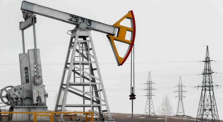
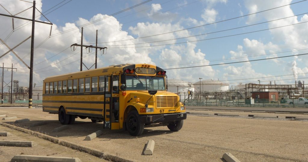
The predominantly black and low-income communities living near the back-to-back petrochemical refineries of Louisiana’s “cancer alley” have long suffered compromised immune systems and high rates of disease. Now, the state’s fast-growing COVID-19 outbreak is poised to hit them especially hard.
Yet behind the veil of the pandemic, last week the Environmental Protection Agency (EPA) issued a temporary policy—with no end date specified—to suspend its enforcement of key environmental regulations, allowing industries like Louisiana’s petrochemical giants to make their own determinations as to whether or not they are complying with requirements to monitor pollution levels. Ironically, as the EPA relaxes its rules for polluters, the link between long-term exposure to environmental hazards and the most severe outcomes of coronavirus infections is starting to come into focus.
Jvion, a healthcare data firm, has collaborated with Microsoft to launch a new COVID-19 community vulnerability map to identify the populations most vulnerable to severe complications following a coronavirus outbreak. The interactive map aggregates socioeconomic and environmental factors, such as lack of access to transportation, exposure to toxins, unemployment, and mortality rate. According to the map, these factors make certain “cancer alley” communities particularly vulnerable.
“Our most heavily weighted and frequent determining risk factor was air quality, though that doesn’t mean that it’s the most predictive factor,” said John Showalter, chief product officer for Jvion. “There’s definitely a biologic rationale that environmental health hazards that lead to pulmonary and cardiovascular conditions would then lead people with those conditions to do poorly during a COVID-19 outbreak.”
JVIONJvion used machine learning to analyze block-level data from the U.S. Census to help identify “environmental health hazard” as one key socioeconomic factor that makes a population more vulnerable to severe COVID-19 outcomes, based on the health effects of polluted air, contaminated water, and extreme heat. They also factored in how chronic exposure to outdoor air pollutants, such as fine particulate matter, can increase the risk of cancer, respiratory illnesses, and cardiovascular disease—preexisting conditions that physicians say can make the novel coronavirus more severe and fatal.
A side-by-side comparison of Jvion’s vulnerability map with the EPA’s Environmental Justice Screen (EJScreen) suggests a stark correlation between a community’s proximity to industrial facilities and its projected risk of severe COVID-19 outcomes.
Jvion labels Harris County, Texas, as having a high vulnerability for COVID-19—and a key socioeconomic influencer for that determination is its “above average environmental health hazard.” A new analysis from the University of Texas Health Science Center echoes Jvion’s map: The report shows where risk factors for severe COVID-19 outcomes (mostly preexisting health conditions) are distributed across Harris County to determine which neighborhoods are most at-risk of hospitalization and intensive care for COVID-19. Cross-referencing the EJScreen, it becomes clear that the Harris County map highlights communities in close proximity to industrial facilities and those at a higher risk of cancer from breathing airborne toxins.
“There’s a familiar pattern in these maps, and it’s a pattern that you see in mobility rates and mortality rates, race and ethnicity demographics, as well as the distribution of industry in our country,” said Corey Williams, the research and policy director for Air Alliance Houston. “All those things overlap to a great extent, so there is a correlation, but it’s difficult to prove causation.”
Philadelphia has seen a rapid uptick in coronavirus cases, and its pockets of vulnerability have similar characteristics to Houston’s. Jvion’s map shows that the predominantly black and low-income neighborhoods of Point Breeze and Grays Ferry are considered to have an “extremely high” vulnerability risk for COVID-19 due to environmental hazards, elevated unemployment rates, and low incomes. The EJScreen shows that the areas are close to major highways with heavy traffic, wastewater plants, and industrial facilities.
It’s clear that the novel coronavirus is already compounding underlying systemic inequities in communities with more people of color, poverty, migrants, and those without access to resources like medical care. These maps can help ensure that government response and medical capacity in these at-risk populations can meet the needs of those likely to be severely ill from the virus, including those living near heavy industry and fossil fuel infrastructure.
In a letter submitted to the EPA last week, environmental groups demanded to know why polluting facilities are now excused from complying with environmental regulations, even as their operations continue relatively unfettered. “What is the basis for presuming that the pandemic means companies can no longer comply with environmental rules while they continue to operate and process all other forms of corporate ‘paperwork’?” the memo asked.